Beaver Wetlands
an 85 acre preserve in Gallia County
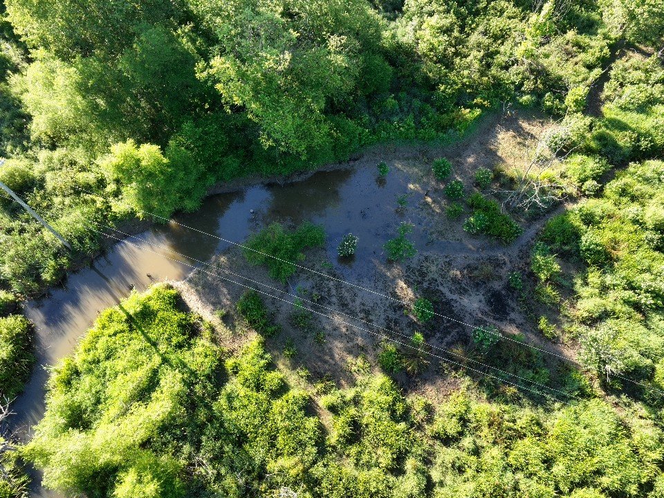
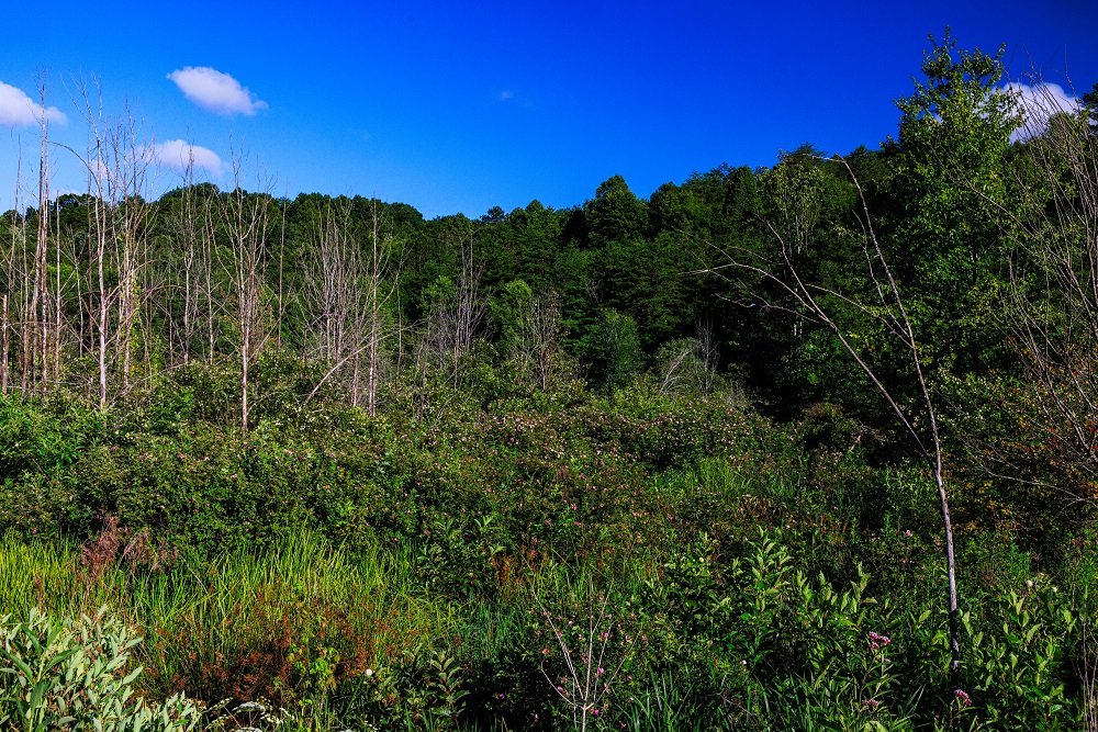
Beaver Wetlands sits in the low-relief valley of Dirtyface Creek in Gallia County. The concave nature of the landscape allows surface water runoff from unnamed primary headwater streams and seasonal flooding from Dirtyface Creek to pool on both sides of a road, creating wetland conditions that for nearly 20 years have been aided by beaver activity.
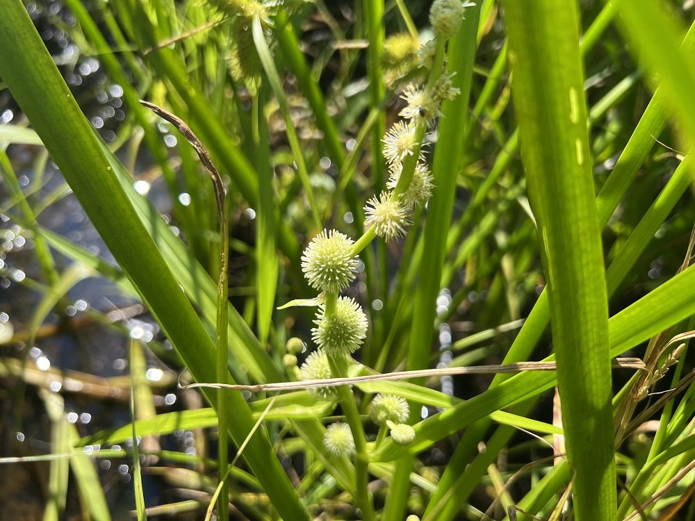
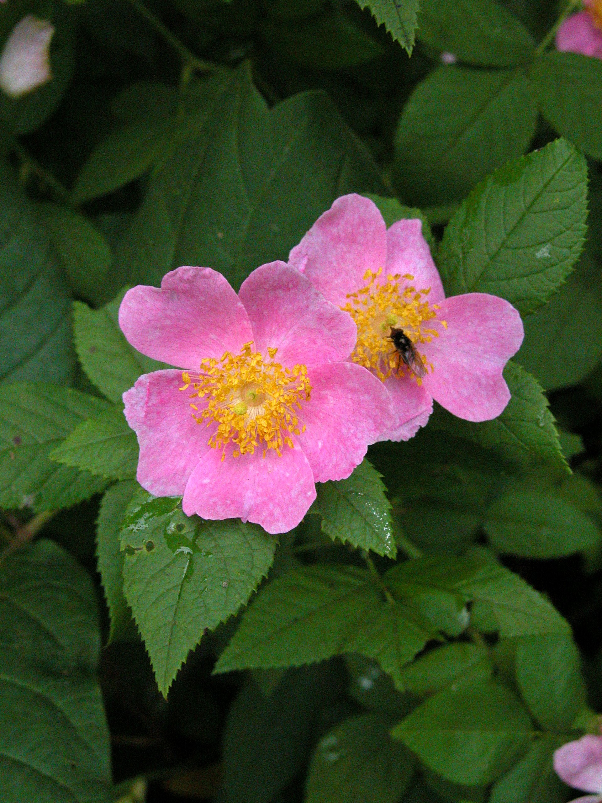
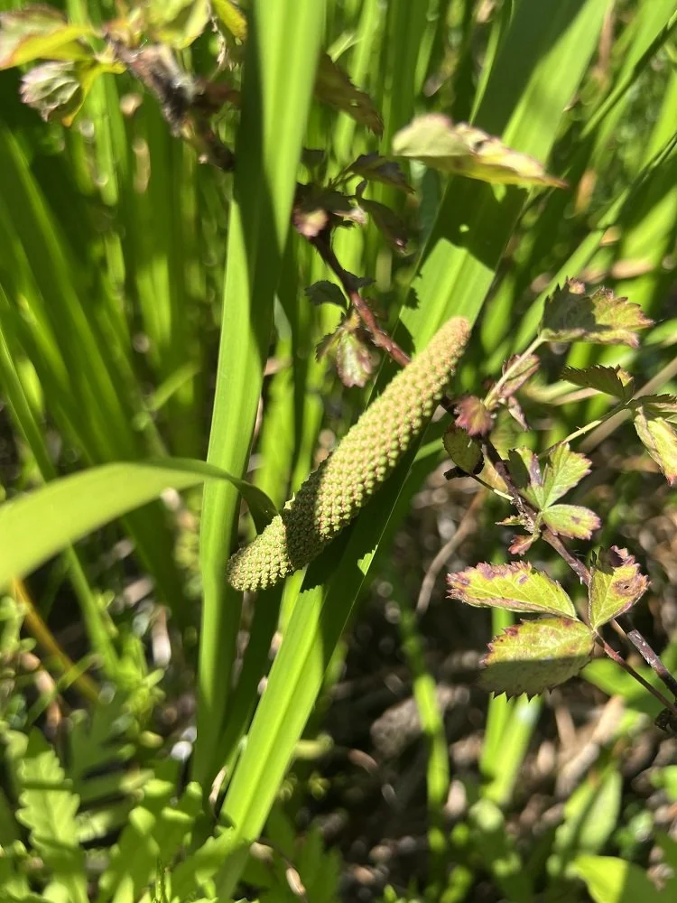
The 13.3 acre wetland is filled with wetland obligate plant species, including buttonbush, swamp rose, black willow, cattails, sweet flag, and woolgrass. Shallow waters are covered in masses of American toad eggs and the trill of toads and vocalizations of bullfrogs, green frogs, and spring peepers are pleasantly deafening each spring.
Project Cost: $214,153 (Clean Ohio assisted)
One-time Stewardship Investment for Entire Preserve: $625,000
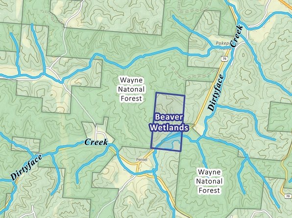
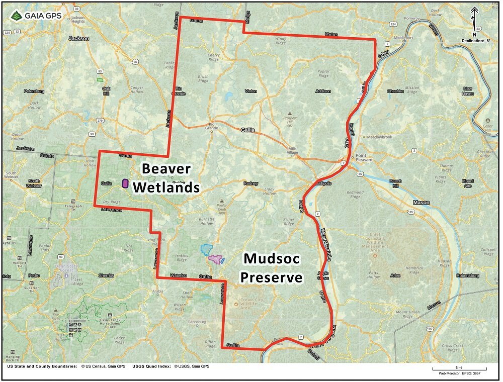
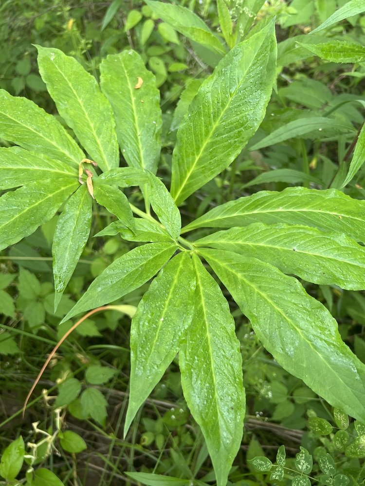
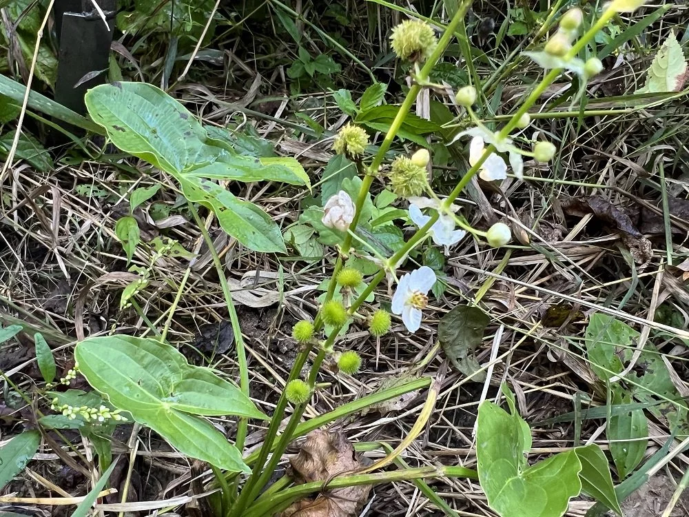
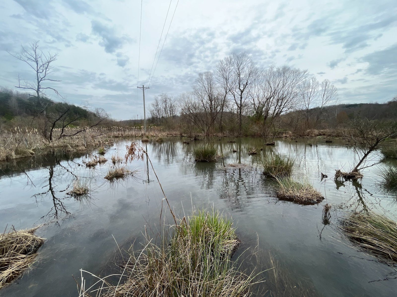
The Arc of Appalachia’s first two preserves in Gallia County. This project is one of two of the Arc of Appalachia projects in Gallia County. The other, which is known as Mudsoc Preserve, is located less than 11 miles from Beaver Wetlands as the crow flies (as shown in the map above). These projects represent the Arc of Appalachia first foray into Gallia County.
Protects 13.3 acres of naturally-occurring wetlands, which are being aided by a population of resident beavers. The wetland supports many species of plants and animals, including numerous wetland obligate plants.
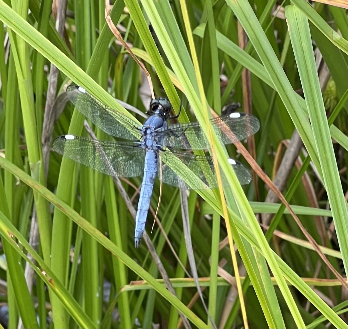
An Important Haven for Wildlife. Many species of birds, reptiles, amphibians and mammals rely on wetlands for sources of water, food, and shelter. Beaver Wetlands is located in an National Audubon Society Important Bird Area, and lies within a known occurrence area for state-endangered timber rattlesnakes. The wetlands provide important foraging habitat for many species of bats, including Northern long-eared bats which are endangered in Ohio and federally. Acquiring Beaver Wetlands would protect habitat for a significant number of plant and animal species, would improve Dirtyface Creek’s water quality by filtering pollutants during seasonal flooding, and would reduce erosion and flood-scouring downstream.
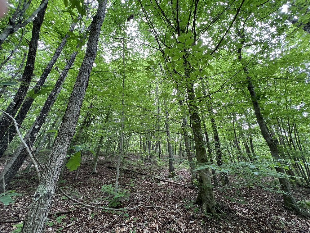
Protects a healthy mixed hardwood - Virginia Pine forest, which will diversify in species once it is permitted to naturally age and mature over time. Beaver Wetlands also borders the Wayne National Forest- Ironton Unit on three sides. The forest on the east side of Beaver Wetlands belonging to the Wayne is high-quality with older oak and hickory trees and lots of regeneration of those species in the understory.
Beaver Wetlands’ Cultural History. The southeastern third of the property is intersected by a public road called C H and D Road, named after the historic Cincinnati, Dayton, and Hamilton Railroad that in the 1880s transported iron from nearby Gallia Furnace to the Ohio River. Gallia Furnace was built in 1847 by John Campbell, an abolitionist who constructed many iron furnaces throughout the Hanging Rock region of Ohio. By 1880, the furnace supported a population of 136 people.
In “The Charcoal Iron Industry of the Hanging Rock Iron District - Its influence on the early development of the Ohio Valley,” author Wilbur Stout states that each furnace required on average 11,500 cords of wood per year, which meant an average of 200-600 acres of timber would have to be cut annually for these furnaces to operate. The forests at Beaver Wetlands were surely cut to feed Gallia Furnace.
Visitor Services Planned for Beaver Wetlands. The Arc intends to install a 1.3-mile-long hiking trail at Beaver Wetlands that will feature a boardwalk into the wetland for nature viewing. The Arc also intends to install a trailhead parking lot and public hiking trail to permit public access to the site, and an informational kiosk to interpret the site’s natural and cultural history.

